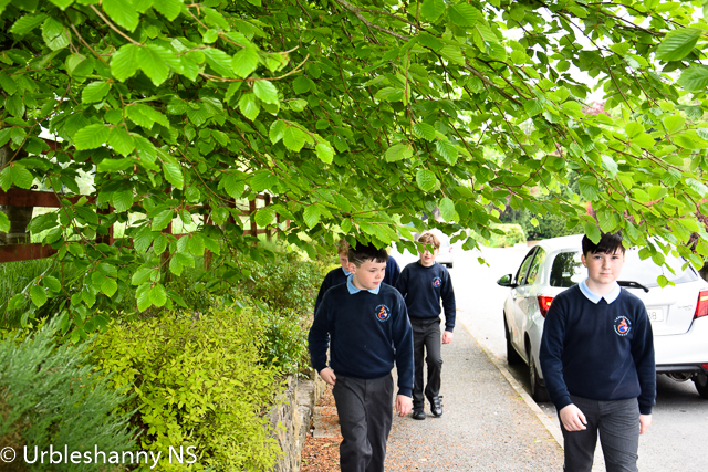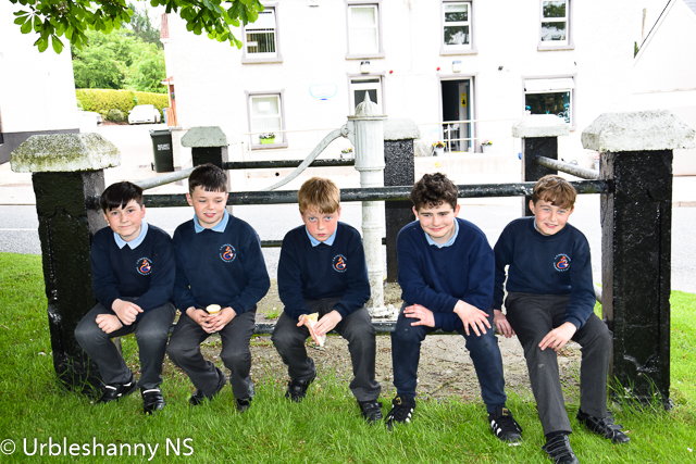
5th Class History Walk June 2021
Ms Daly's 5th class walked the short distance from the school to the village this week to explore and learn about certain features in their locality. The first feature studied was the ringfort which overlooks the village. This prehistoric site goes back to the Bronze Age (2,000 BC) and is one of a network of ringforts in the area. In the first Ordnance Survey maps of Ireland completed in 1836, the ringfort is clearly marked and named Liosleaghan (Broad Fort). The 1836 maps are regarded by cartographers as the finest and most accurate maps ever produced.
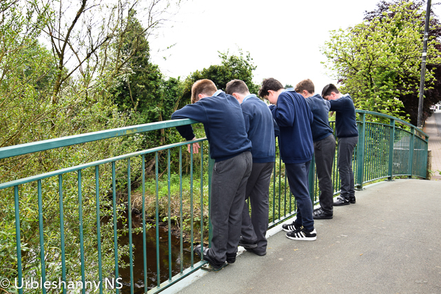
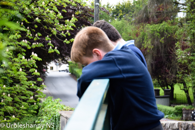
The group then walked to the bridge which is over the Ulster Blackwater whose source begins in Sliabh Beagh. A landowner named Henry Owen Scott laid the foundation stone for the bridge in 1791. The Scotts had been in the area since the 1660s and probably gave the name to the village, Scotstown, which grew at the meeting place of the five roads in Bough (An Bhoth).
We then proceeded to the village green to learn about the old water pump. This pleasant and interesting roadside feature is prominently sited near the village of Scotstown. It recalls the era prior to piped domestic water supply also representing a socially important meeting place. The pump was erected in 1870 and the villagers could access fresh water when needed. The handle on the pump is in the shape of a cow's tail. It was reported in the Monaghan Argus, September 25th 1954, that the people of Scotstown were in a bad way without good drinking water and the pump had been condemned. Plans were then put in place to provide homes in the village with a piped water supply.
A fair was held on the Green in Scotstown village on the 17th day of every month. Scotstown was the only village in Ireland where permission was granted for the pubs to open on St Patrick’s day with a special license and to serve food to all those attending the fair. In 1952, Lord Rossmore, who owned the rights to the Fair, ordered that the date in March be moved to the 18th instead of the 17th. This meant the pubs could no longer make applications for a special license and had to remain closed.
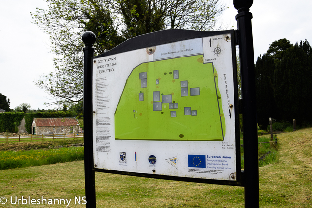
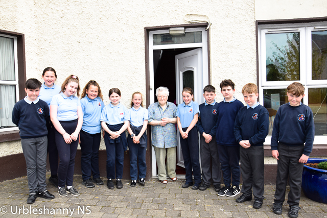
From the village green, the children saw the former doctor's dispensary (Rooneys), the former RIC barracks (Keenans) and the two Garda houses. The children then walked towards the old Scotstown Post Office where they were treated to an impromptu talk by the former and last Postmistress of Scotstown PO, Patricia Smyth. They were amazed by the machinations of the old telephone exchange and one of the girls, Marlee, learned that her grandfather's number was Scotstown 6. We crossed the road to the site of the former Presbyterian Church (Henry McCaffrey's house) and the graveyard which was called the Meeting Green.
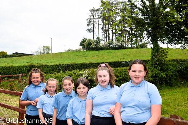
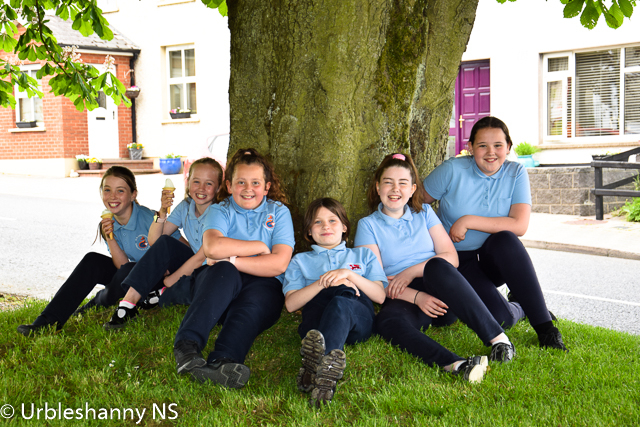
If you check the images below, you will notice a photograph of the girls in the group standing in front of the house which was the former residence of the school master of Urbleshanny NS in the 1930s. His name was Master McKenna whose wife also taught in the school.
A short walk packed with so much history of the locality from prehistoric times to the present day. The teaching of local history creates an awareness and develops a sense of place and identity. By understanding our past, and where we came from, we hope to better understand where we are now.